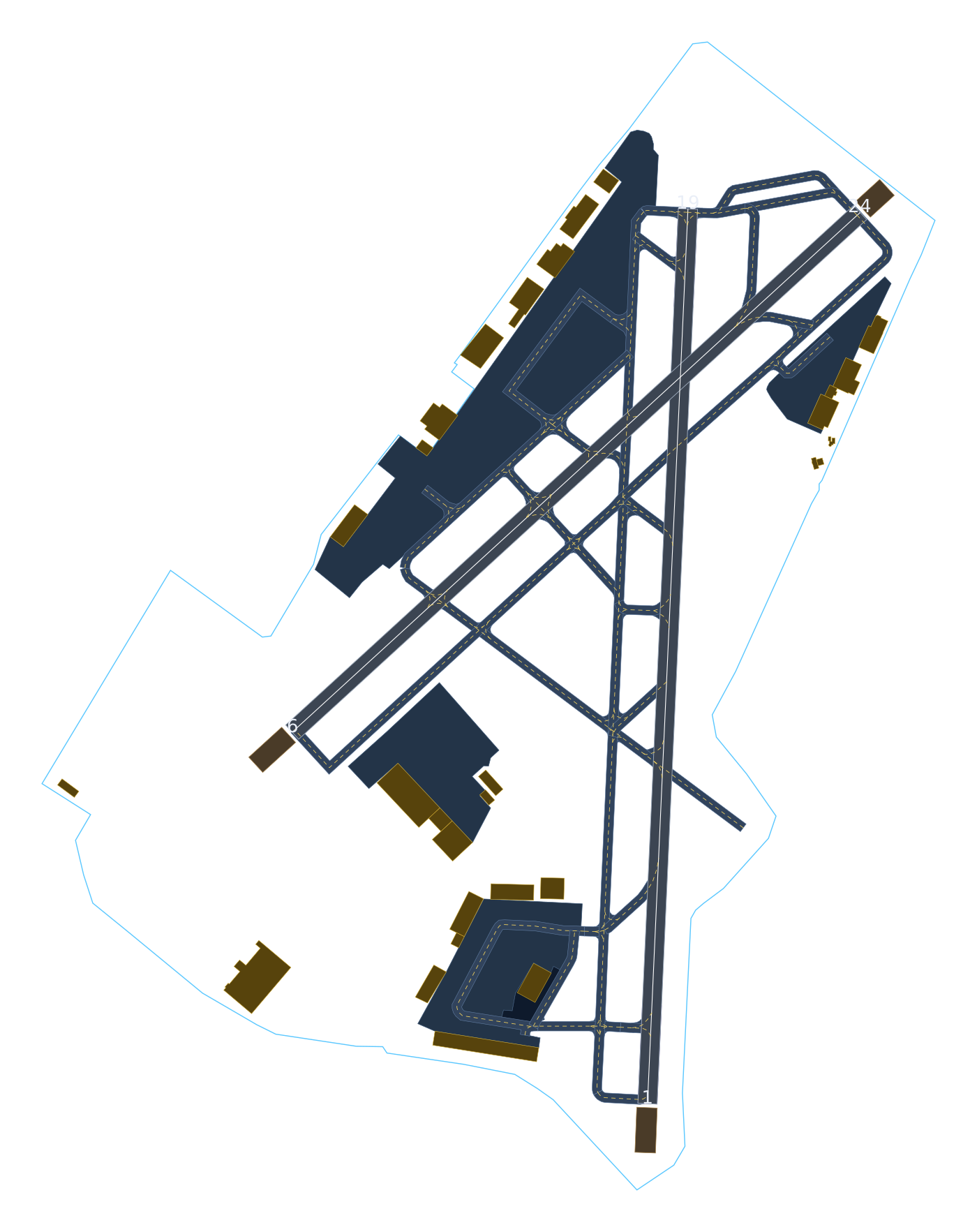
KTEB · Teterboro Airport
High-precision, layered vector map for EFB / GPS overlay. Every layer is real WGS84 geometry — toggle layers and zoom in: it lines up with the pavement.
FAA NASR cycle 2026-07-09 · WGS84 (EPSG:4326)
Positional QA — measured, not claimed
CRS
Delivered CRS WGS84 · EPSG:4326
Measurement CRS UTM 18N · EPSG:32618
State plane alt. NJ ftUS · EPSG:3424
Field elevation 8.3 ft MSL
Runways, centerlines & displaced thresholds: constructed from FAA NASR runway-end coordinates (28-day cycle 2026-07-09). Taxiway/apron/building vectors: OSM extract (© OpenStreetMap contributors, ODbL), cross-checked against NASR + FAA airport diagram + imagery. Basemap: Esri World Imagery. Demo pilot — production deliverable is built on FAA ADIP (AC 150/5300-18B) survey data.